African Overland Tours
https://www.facebook.com/AfricanOverlandTourscom/
https://www.instagram.com/african_overland_tours/
https://www.youtube.com/@africanoverlandtoursandsafaris
+27 (0) 21 448 0997
Customer Service
Worldwide
African Overland Tours
https://www.facebook.com/AfricanOverlandTourscom/
https://www.instagram.com/african_overland_tours/
https://www.youtube.com/@africanoverlandtoursandsafaris
+27 (0) 21 448 0997
Customer Service
Worldwide
The Panorama Route is an exceptionally scenic driving route in the Mpumalanga province of northeastern South Africa.
The route is shaped a bit like a lollypop, having a long ‘handle’ and a loop at the top (north). It takes you through the northern Drakenbserg mountain range, and at times right up to its escarpment edge in the east.
The Panorama Route is beloved by locals and visitors alike for its deep canyons, thick forests, rivers and waterfalls, and striking geological formations, which include deep caverns and a famously ‘potholed’ ravine. So while many of its towns and villages were established in the nineteenth century in response to the gold rush, today they exist in large part thanks to tourists.
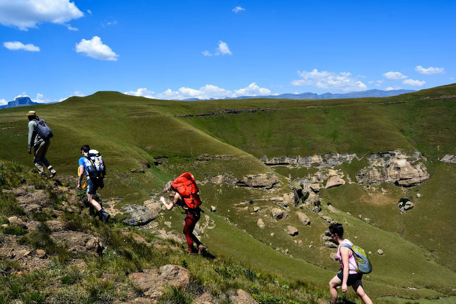
There’s so much one can talk about when it comes to the Panorama Route, from its rich and layered history to the many hikes and other adventure activities you can enjoy here. But in this blog post, I simply want to tease the grandeur and allure of the region by discussing what I consider to be the seven most beautiful stops along the Panorama Route …
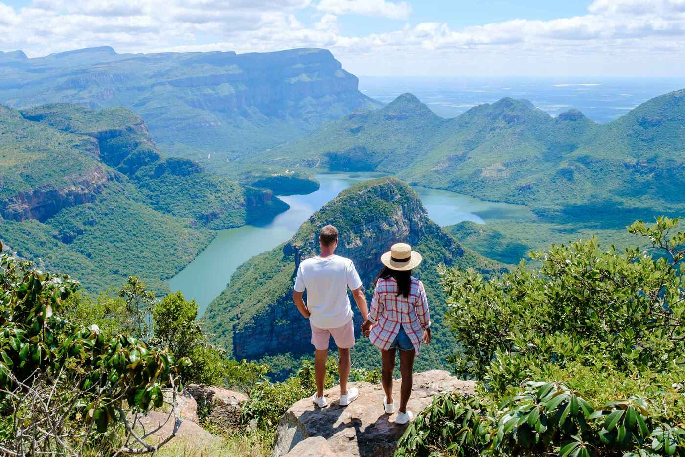
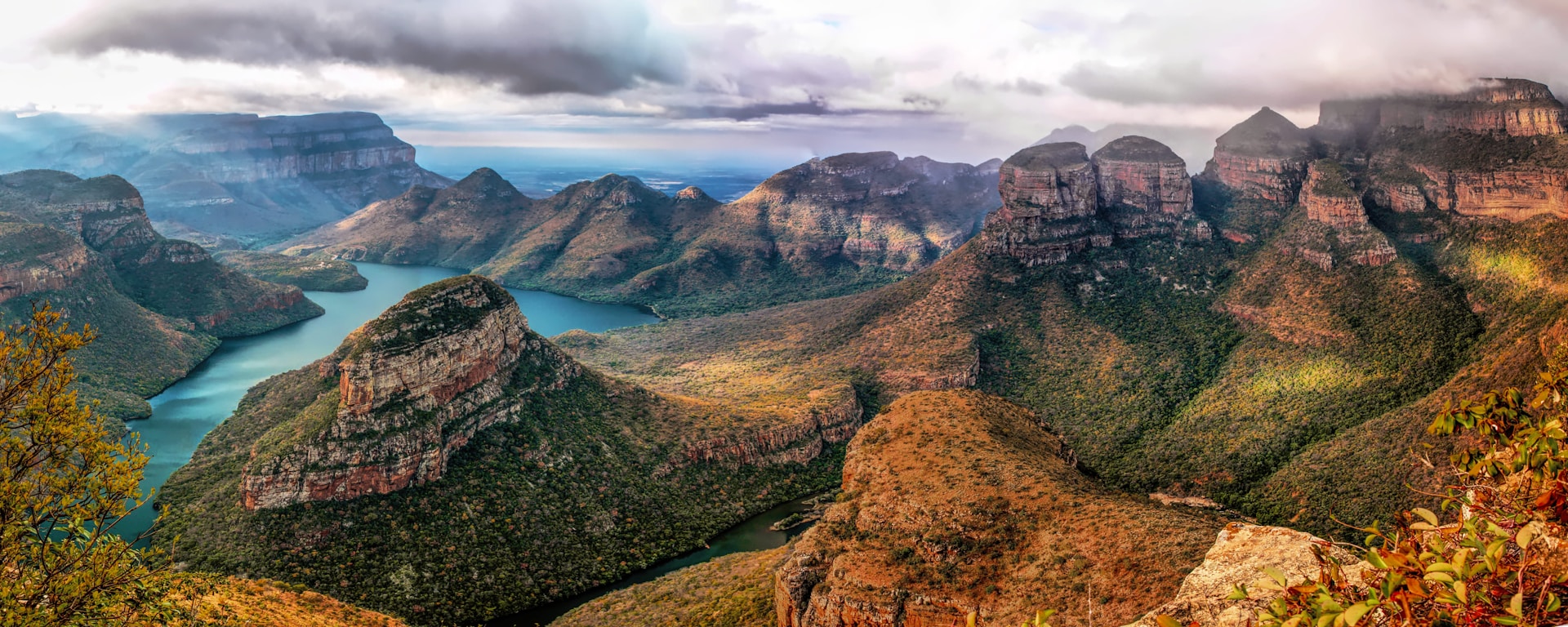
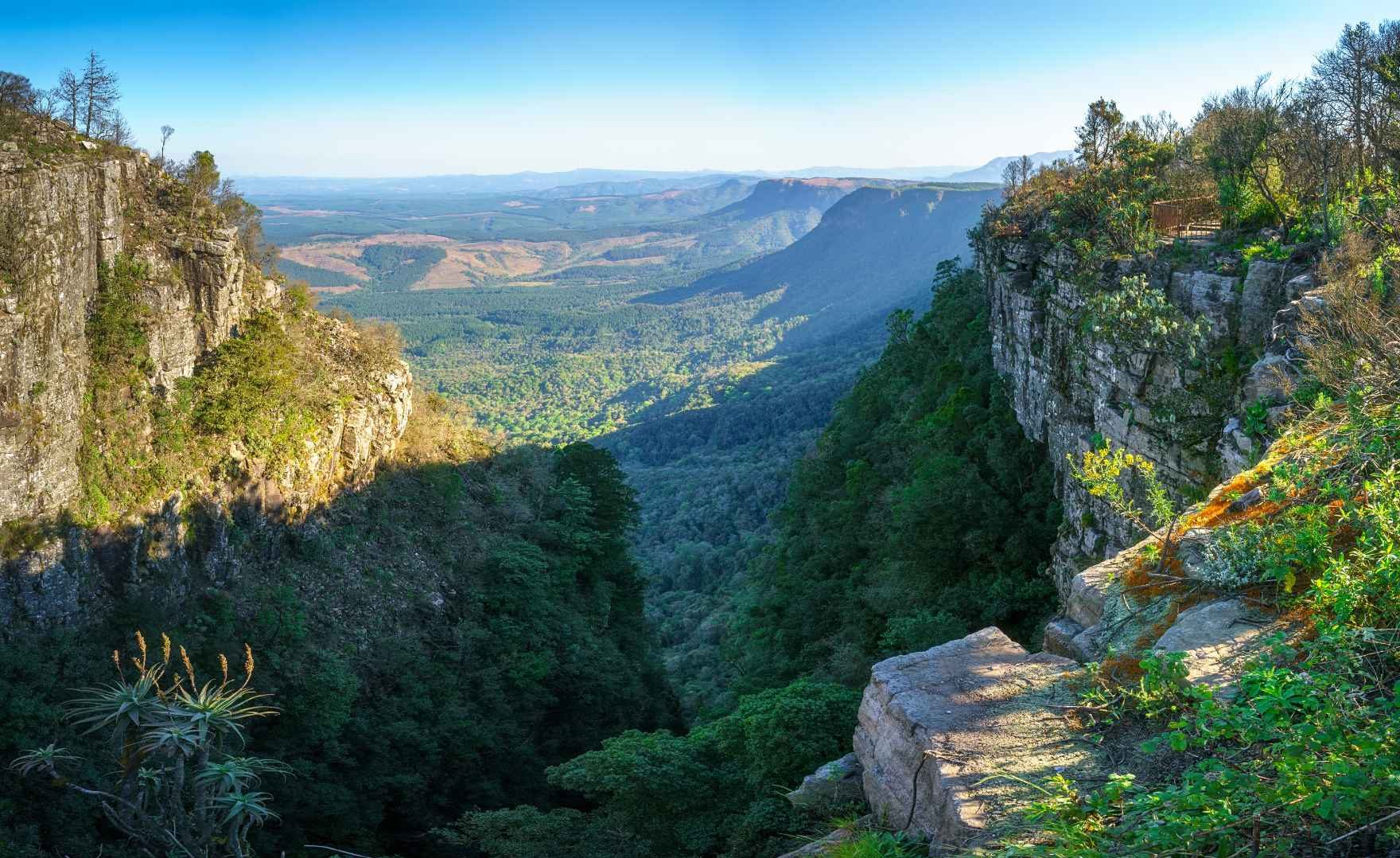
The Blyde River Canyon is the jewel in the crown of the Panorama Route. It’s a truly awesome sight. It’s one of the largest canyons in the world, and the largest ‘green canyon’ in the world, thanks to the b eautiful subtropical vegetation that blankets all but the steepest sections.
The word blyde means happy in Afrikaans. While the Dictionary of Southern African Place Names tells us that the name Blyde River has an unknown origin, it’s popularly reported that it was given after an 1830s expedition that was thought to have perished was reunited with the rest of their party at the river. Either way, the Blyde River Canyon is a happy place for tourists as the scale and beauty of the view never fails to impress!
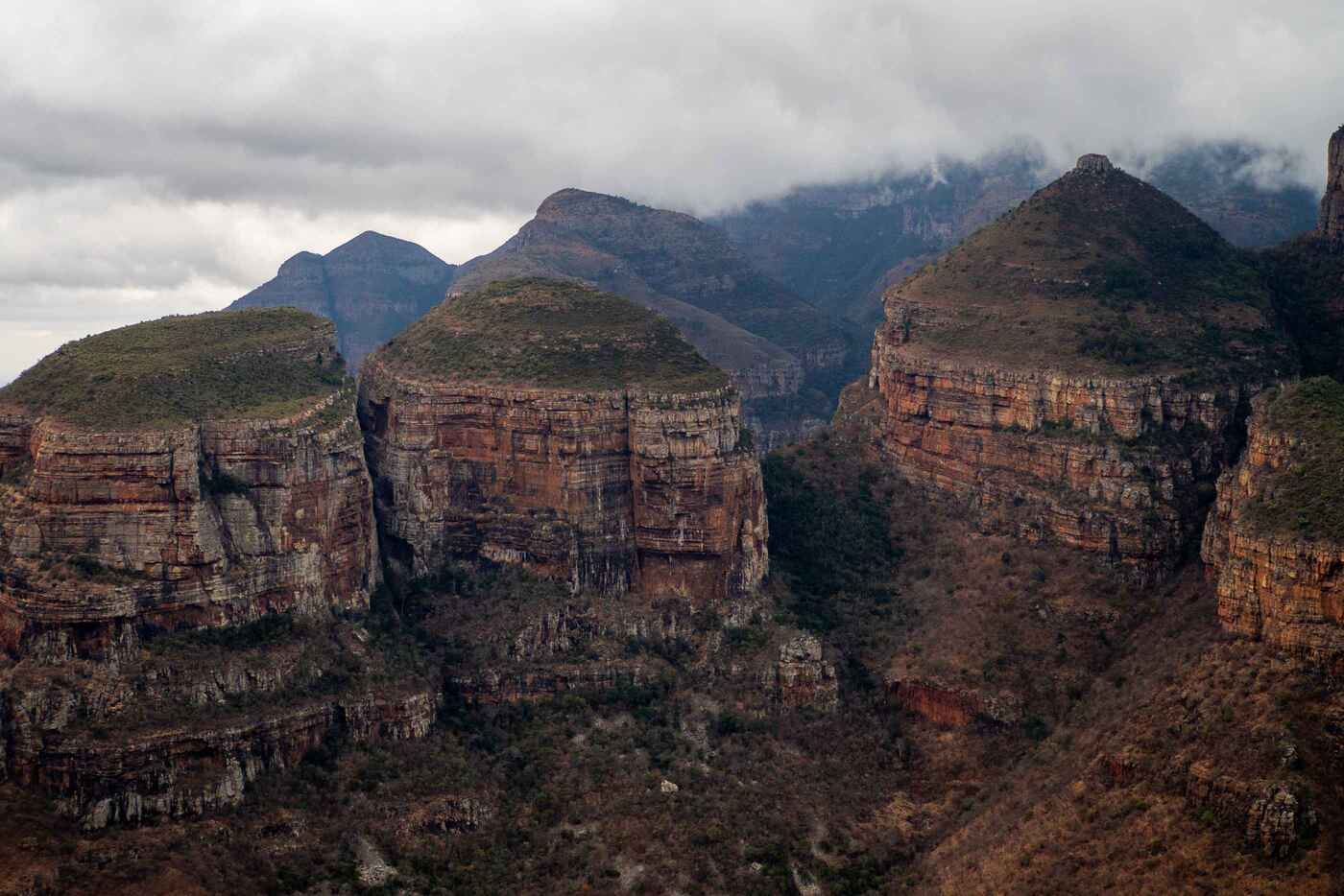
The Three Rondavels are a cluster of dome-topped mountains that sit on the edge of Blyde River Canyon. While you see them from the same viewpoints used to admire the canyon, they deserve a mention all of their own. Because look at them. They’re both grand and charming. Hence, their own special name.
In Afrikaans, the word rondavel describes the round mud homes with pointed thatched roofs that are traditional to some indigenous herding cultures. The Three Rondavels do indeed look like thatched homes, with their sheer, brown sides and grassy domes.
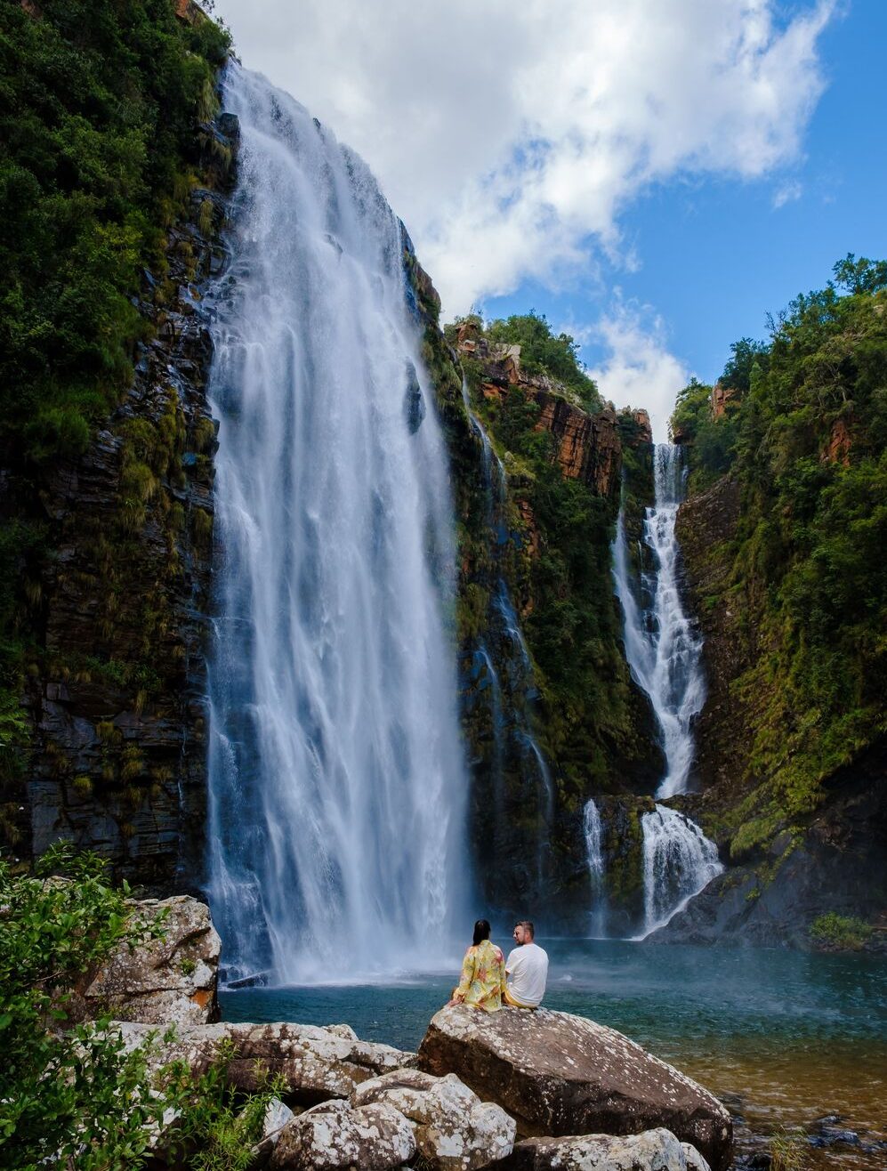
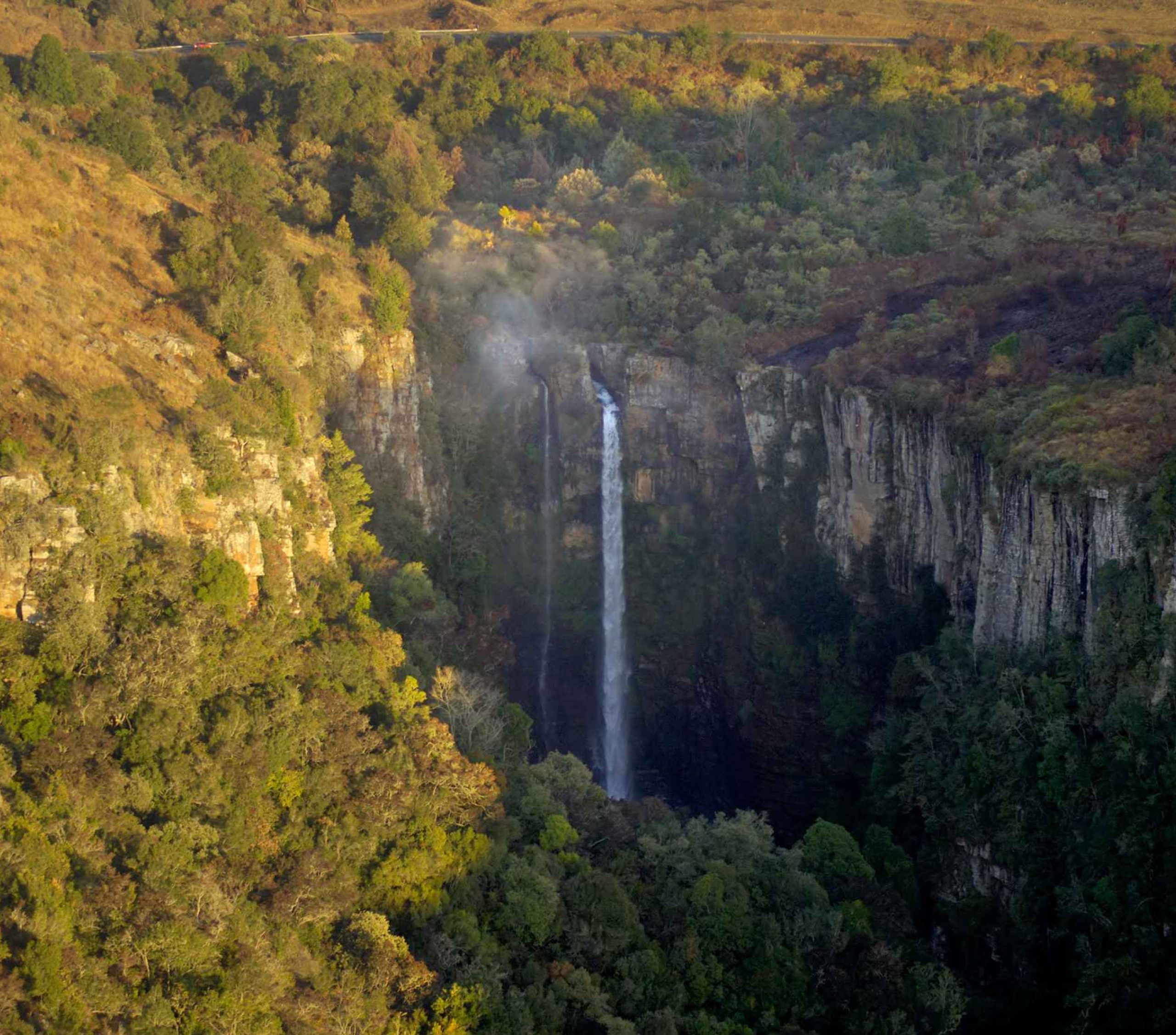
There’s a remarkably big number of remarkably tall and pretty waterfalls dotted along the Panorama Route. Lisbon Falls is one of them. In fact, it’s a standout, being the tallest waterfall in the province at 96 m (315 ft). It’s a marvellous scene from both above and below. Though of course at the bottom, you can cool off in the pool on a hot day.
Price From
R63,840
Price From
R47,115

Price From
R53,950
God’s Window is a bewitching viewpoint atop the Drakensberg Escarpment. Specifically, it’s a narrow view from the head of a forested kloof (ravine) of a long stretch of the escarpment upon which you’re standing. You can appreciate the roughly 900 m (2,950 ft) drop from the escarpment edge to the lowveld (low-lying subtropical land).
Note that the short climb through indigenous rainforest to the viewpoint from the parking lot is also a delight, and usually full of birdsong. Also, there’s actually a second, higher, and more expansive viewpoint at the same site. From this second spot you can, on clear days, see not just the distant Kruger National Park (the country’s flagship wildlife reserve) but also the Lebombo Mountains, which form the border between South Africa and Mozambique.
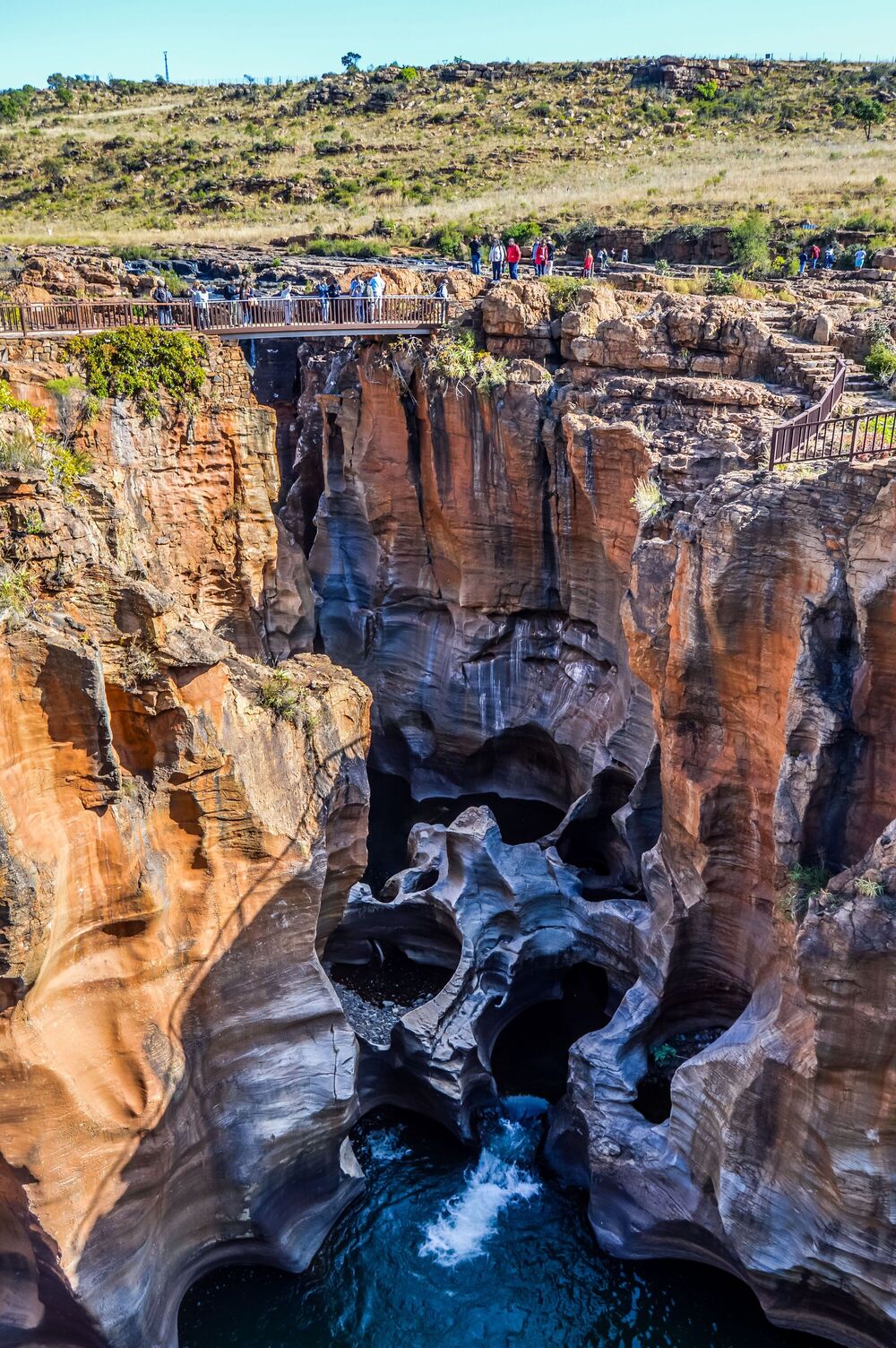
Another non-debatable highlight of the Panorama Route is Bourke’s Luck Potholes. This sheer, narrow canyon is not only dramatic, but unique. It has numerous smooth and beautifully striated cylindrical cavities that were carved over eons by swirling rocks. The cause of these whirlpools is the meeting at this juncture of two rivers: the Blyde and Treur Rivers. Translated from the Afrikaans, they’re the Rivers of Happiness and Sorrow.
As with so many places in the area, Bourke’s Luck Potholes earned its name from a gold-digger, in this instance Tom Bourke, who staked a claim nearby. Today, there’s a series of metal bridges and walkways that let you wander around and enjoy different vantage points of this special canyon.
Another of the Panorama Route’s many arresting waterfalls is Mac Mac Falls. Located in the middle of the route, it’s 65 m (213 ft) and a twin-cascade when the water is flowing strongly. There’s a railed viewing platform you can climb to for a fantastic view of the falls. Also, you can swim in the Mac Mac Pools just 3 km downriver. They’re natural, shallow pools that are beautifully clear and nicely cool.
Mac Mac Falls was apparently named for all the Scottish gold prospectors in the area in the 1870s. A second piece of history – though I haven’t been able to verify it, so take it with a pinch of salt – is that reportedly the falls used to have a single stream. Prospectors blasted the edge of the cliff in search of a gold seam, thus creating two streams.
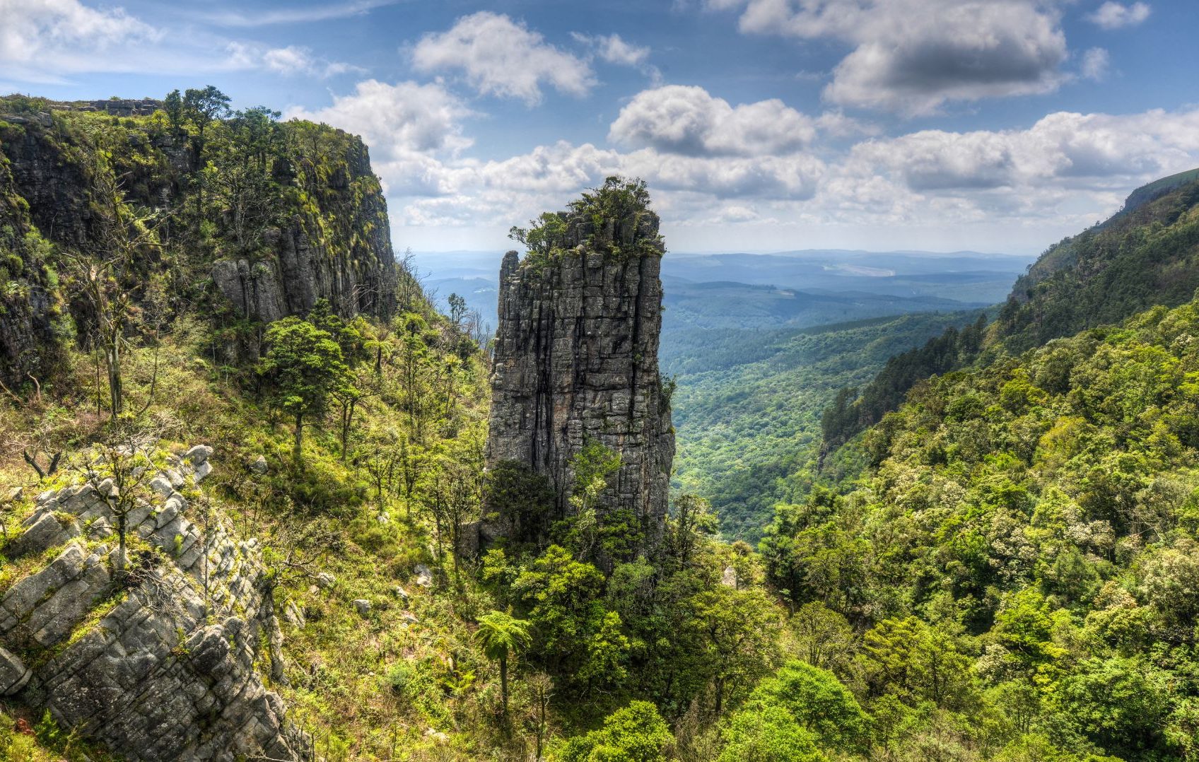
Finally, there’s the Pinnacle Rock just a few miles away from God’s Window. It’s a surprising feature in the landscape: a freestanding quartzite pillar that rises sharply for 30 m (98 ft) out of the forest of Driekop Gorge. </p>
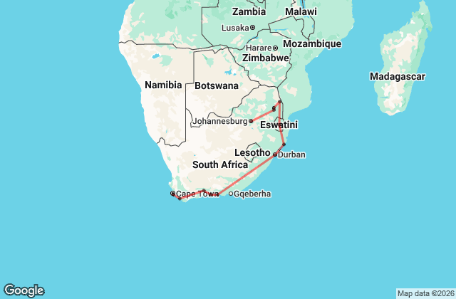
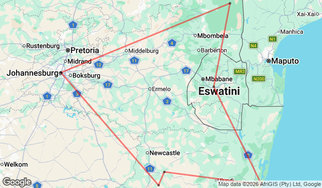
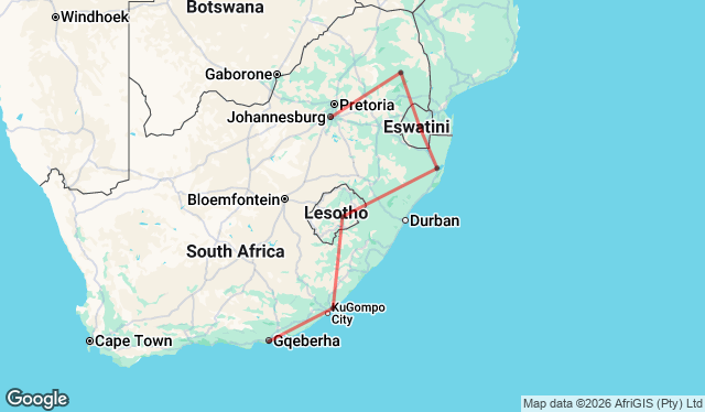
As mentioned, both the Panorama Route and Kruger National Park are part of South Africa’s beautiful Mpumalanga province. A trip here promises scenic beauty, wildlife, rich cultural heritage, and more. Take a look at the itineraries below to see trips that include the Panorama Route, Kruger, and other exciting destinations!
Note: This blog post was created by Nadine Maneveld in April 2022. It was completely rewritten by Megan Abigail White in May 2026.
Top 7 most astonishingly beautiful stops along the Panorama Route
4
1
Price From
R63,840
2

Price From
R47,460
4
Price From
R53,950
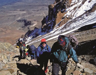
Whether you’re keen to climb snowy peaks, walk in remote desert landscapes or hike along pristine coastal cliffs, Africa has you sorted! From technical summit treks to coastal hikes, you’re spoilt for choice in this magnificent and diverse continent. Here…
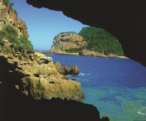
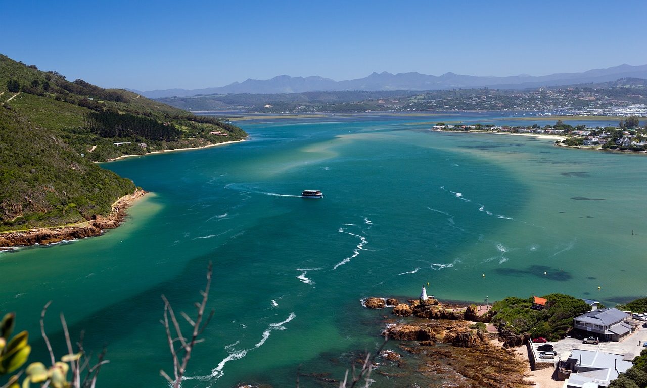
The Garden Route – a stretch of 300 kilometres between Mossel Bay and Plettenberg Bay along South Africa’s southeastern coastline – is one of the most popular tourist destinations in the country. It’s easy to see why – the route…

If you love the open road and epic scenery, then South Africa should be at the top of your list for road tripping. This dramatically diverse country has amazing road trips by the bucket load, filled with incredible landscapes, adventures,…
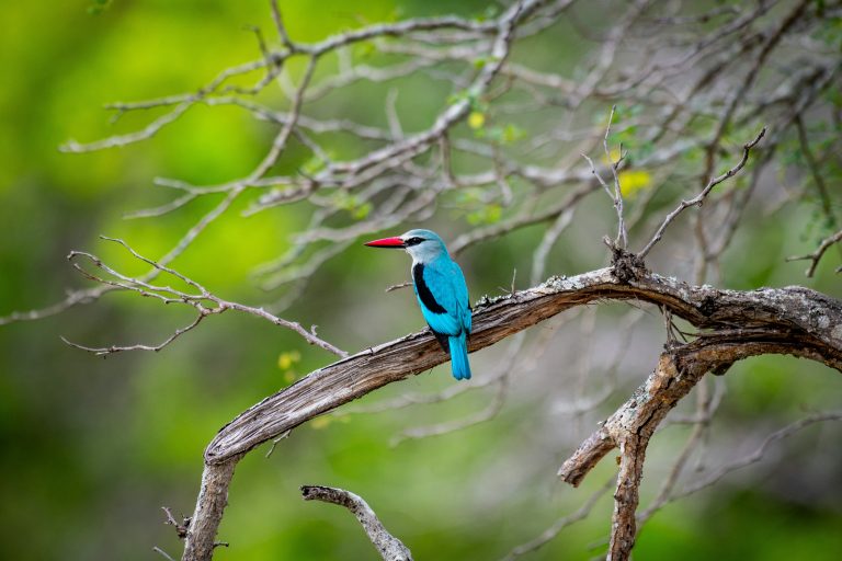
Here are the top places in South Africa for a thrilling and diverse birding safari With over 850 recorded species and a high proportion of endemics, South Africa is one of the world’s best birding destinations. Let’s discuss South Africa’s…
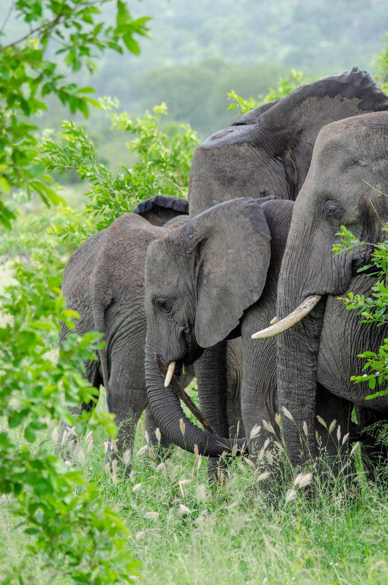
Kruger National Park is one of Africa’s most affordable game parks, making it a great option for budget travellers South Africa’s flagship game reserve, Kruger National Park, offers the quintessential African big-game safari experience. The Kruger’s vastness and diverse ecosystems…

Southern Africa is home to dozens of UNESCO World Heritage Sites – Here’s a List of 11 of the best From South Africa up to Malawi, and from Namibia on the west coast across to Mozambique, you can find many…

"*" indicates required fields