Some of the best memories are made in hiking shoes…
Cape Town boasts some of the world’s best hiking trails. Known for its awe-inspiring beauty between the iconic Table Mountain and the glimmering Atlantic Ocean, there is so much to explore. It is an ideal hiker’s paradise. But even if you aren’t an experienced hiker, you will be able to explore the lush mountain regions and sandy shores on easier hiking routes. Allow me to walk you through each hike, so you can later decide if the hike was just as you imagined:
1. Table Mountain
This most iconic landmark is naturally the best hiking trail choice in Cape Town. Hidden away on the summit plateau lies the historic Woodhead Dam, an impressive sandstone marvel that was constructed in 1897. It makes for an incredible hiking destination, and serves as a fascinating open-air museum. It also provides a fraction of the city’s modern water supply. If you prefer the quiet away from crowds, I recommend exploring the back slopes of the mountain. There are a variety of trails that suit different challenges and moods for every fitness level. You can tackle the rugged, shaded steps of Nursery Ravine and Skeleton Gorge, or snake up the gradual jeep tracks from Constantia Nek. Each route is well signposted, but keep in mind that conditions can change rapidly and forested gorges can become exceptionally slippery when wet.
Through Kirstenbosch up Nursery Ravine and down the Bridle Path to Constantia Nek
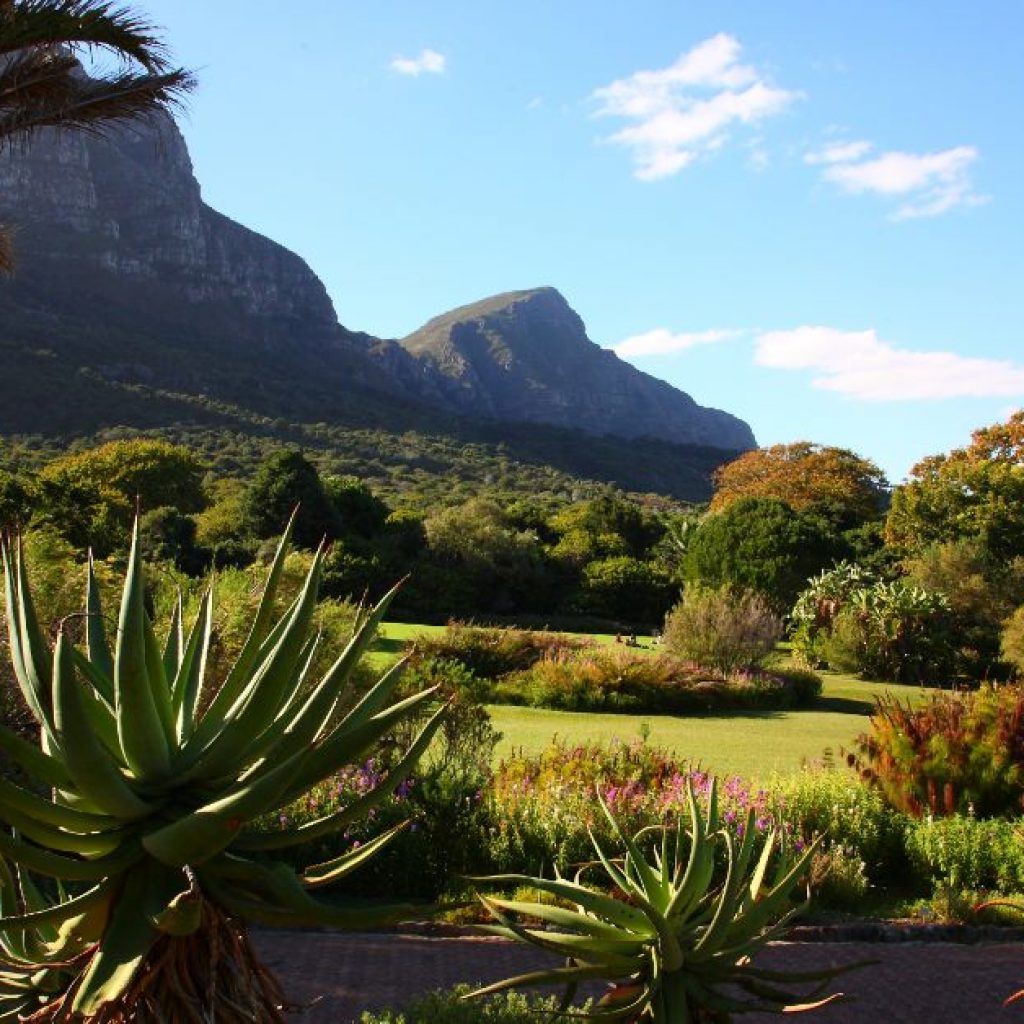
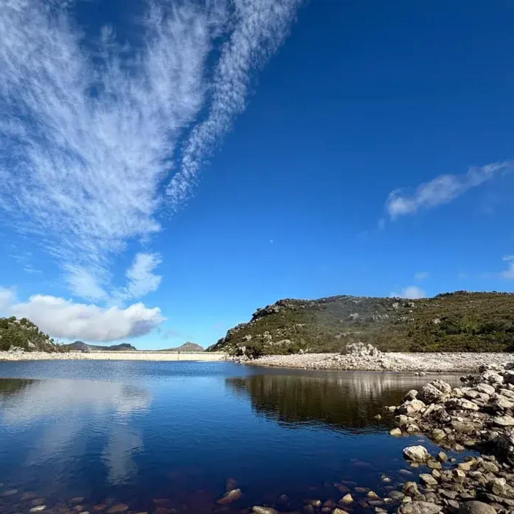
The beauty of this hike is that you transition through three distinct landscapes. Start in the cool, deeply shaded canopy of an ancient Afrotemperate forest, alive with mountain streams and golden orb spiders. The forest opens up into a vast alpine plateau covered in diverse fynbos as you reach the summit. There are massive, hand-cut stone walls of the Woodhead and Hely-Hutchinson reservoirs that appear like unexpected blue lakes. By the end, the descent is dramatic down Nursery Ravine. You will be met with sweeping, breathtaking vistas over Cape Town’s southern suburbs, and the distant expanse of False Bay as the rugged sandstone cliffs reveal the manicured lawns of Kirstenbosch.
Start the Hike
Park your vehicle at Rycroft Gate at Kirstenbosch Gardens. After entering, take your first left following the path that winds along the edge of the estate, leading out to the garden boundaries. As you clear the garden boundaries near the tall, dead tree, the gravel road will descend. Take the path on your right, then keep left at the next intersection, and enter the shaded forest canopy. Follow the small path that leads to the stream on your right, leading you toward the Bridle Path (Jeep Track) that guides you directly to the mountain’s summit plateau.
At the top the road arcs past the historic Overseers Cottage and leads toward the Woodhead and Hely-Hutchinson reservoirs. Follow the clear signposts pointing toward Nursery Ravine to begin your descent. The downward trail starts with a steep, rocky drop-off and a short ladder, leading toward thousands of steep wooden and stone steps. Take your time, step by step, as it can be a workout. At the bottom of the ravine, follow the path down the wide gravel Bridle Path as it winds down to the Constantia Nek parking lot.
No dogs: Dogs are strictly prohibited in Kirstenbosch Garden and on the hiking circuit.
Up from Constantia Nek to Bridle Path
Distance: 5.1 km
Time: Between 2-3 hours
Difficulty: Moderate
Permit required: None
From the cool shade of the lower pine forests to the sun-drenched mountain landscapes, this hike promises jaw dropping panoramic views over the rolling green vineyards of Constantia Valley and False Bay. You’ll be met with rugged sandstone slopes covered in indigenous fynbos, later stepping onto the peaceful plateau of the Back Table and the waters of De Villiers Dam.
Start the Hike
Begin from Constantia Nek, parking your car and passing through the security boom gate. The road leads upward though the lower plantation trees before opening up onto the exposed mountain slopes. Make sure you have sun screen, sun hats and plenty of water on this hike because there are very few shaded areas when climbing up (don’t worry, there is no rock or ladder climbing on this one). You will later arrive at the De Villiers Dam and the historic Overseer’s Cottage on the Back Table. And then, it’s picnic time! There is nothing better during a hike than to sit and take in the beauty around you. When you’re ready, retrace your steps back down the Jeep Track, or arrange for a drop-off at Kirstenbosch or the Cableway.
Across Echo Valley to the Cable Car
Distance: Approximately 11 kilometers
Time: 5–6 hours one-way (Can be shortened by riding the cable car down)
Difficulty: Strenuous (A long, full-day)
Permit required: None (Cableway ticket required if riding down)
This hike takes you deep into Table Mountain’s hidden wilderness: from the dramatic depths of Echo Valley to the sandstone spires of the Valley of the Red Gods. The rugged valleys eventually give way to the breathtaking landscape of the upper plateau. It is here the mountain reveals the magnificent panoramic views of the Twelve Apostles, the deep blue Atlantic Ocean, and the iconic outline of Lion’s Head. This is the hike that lets you take in the sheer scale of Table Mountain (it is so worth it!)
Start the Hike
Begin your ascent from Constantia Nek on the Jeep Track. Once you reach the reservoirs on the Back Table, the real adventure begins! The trail will dip into Echo Valley, a rocky, boulder-strewn gorge, and lead back out through the spectacular Valley of the Red Gods. As you reach the exposed front face of the mountain, you will be offered breathtaking views of the Upper Table, Atlantic Seaboard, Lion’s Head, and the city below.
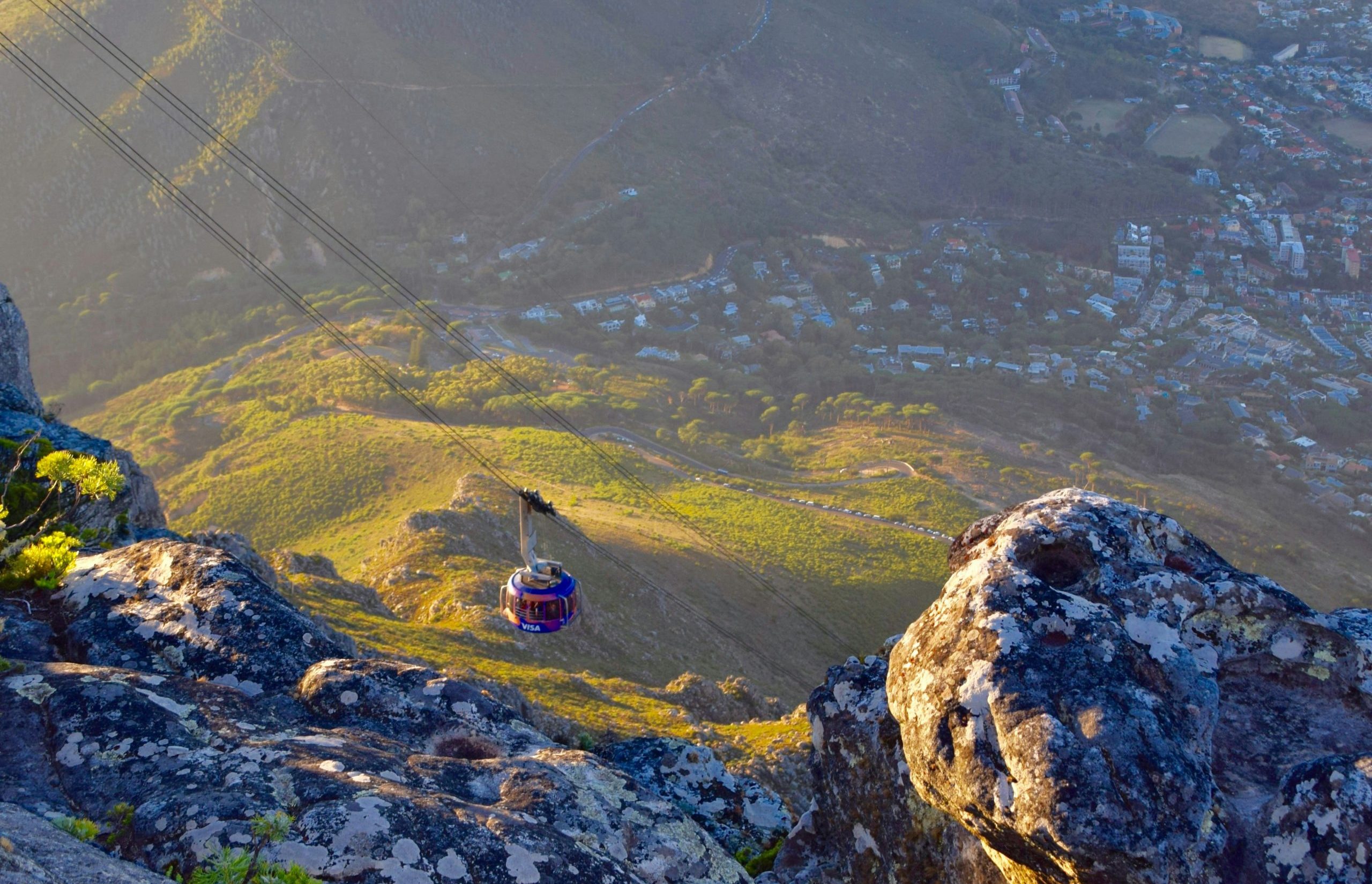
For your safety, never assume the cable car will be running. The weather by Table Mountain can change instantly, and high winds shut down the Cableway without warning. Arrange for a pick-up at the end of the trail by Tafelberg Road Cableway, or brave the steep, knee-jarring descent down Platteklip Gorge. Carry extra water and a warm jacket just in case.
What to Keep An Eye Out For
What to Pack & Logistics
Rare Mountain Flora: Brilliant Red Disas (blooming near streams in late summer) and carnivorous Sundew plants along the damp trails.
Summit Layers: Warm, windproof clothing. The temperature drops drastically and an icy wind often sweeps the summit plateau.
Lister’s Nursery: A distinct grove of massive Redwoods, ancient Oaks, and historical alien trees marking the site of an old forestry nursery.
Sun Protection: A wide-brimmed hat, sunglasses, and high-SPF sunscreen (the plateau is heavily exposed with zero shade).
Golden Orb Spiders: Striking, harmless spiders that spin massive, elastic yellow webs stretching up to 5 meters across forest paths.
Footwear & Fuel: Sturdy hiking shoes or boots with excellent grip, plenty of drinking water, and high-energy hiking snacks.
Local Wildlife: Sun-basking lizards, chirping mountain frogs, and the occasional puff adder or mountain snake crisping on the rocks.
Money & Cards: Digital payment/cards for the cashless Kirstenbosch entrance fee or a potential one-way Cableway ticket down.
Note: Keep an eye on the sky for Verreaux’s (Black) Eagles nesting on the rocky crags.
Emergency Contacts:
Mountain Rescue: 021 937 0300
Table Mountain Cableway: 021 424 8181 (Call to check live weather closures)
2.Crystal Pools
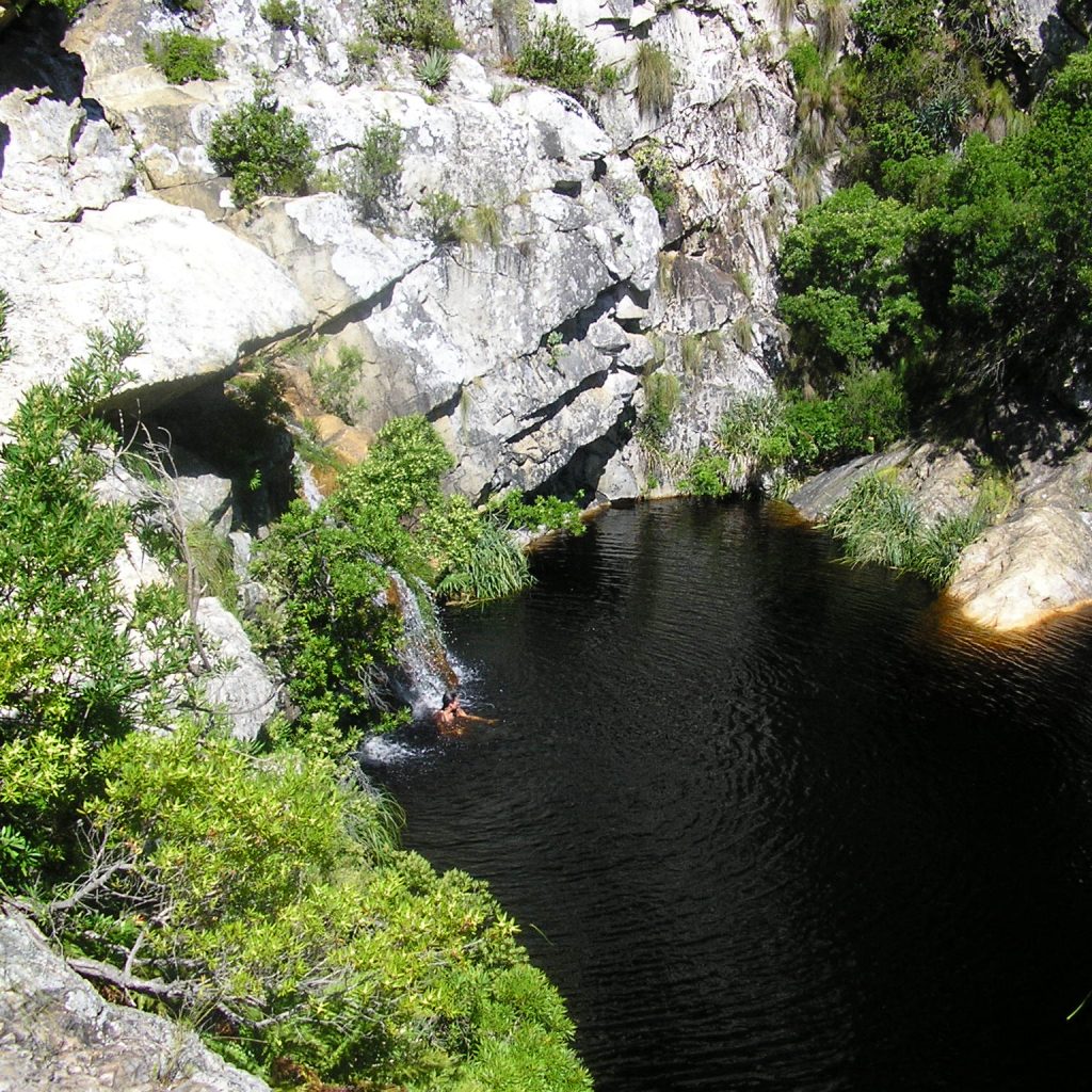
Crystal Pools promises a hidden river oasis, and the sun-scorched sandstones make you feel like you’re in paradise. Pack your swimwear and dive into the crystal clear mountain water with a cliff jump. Just imagine: you, the deep rock pools fed by cascading waterfalls, the shimmering expanse of False Bay… bliss!
Start the Hike
Distance: Approximately 5 kilometers
Time: 2-4 hours (Depending on how long you swim!)
Difficulty: Moderate
Permit required: Yes
Head toward the N2 toward Gordon’s Bay, turning right onto the scenic Clarence Drive. After passing Sunbird Guest Lodge, you will cross the Steenbras River Bridge. Turn into the parking area at the Steenbas Nature reserve. Make sure you have your digital permit ready to present to the guards (it is a cashless, permit-only checkpoint).
The trail starts with an easy, gradual descent to the valley floor, then flows along the riverbank up into the heart of the gorge. It is incredibly easy to navigate, marked clearly with bright red pegs placed every few meters. You will eventually arrive at the first set of pools, and I promise you the view does not disappoint! The cliffs surrounding the pools offer adventure, so take a plunge and jump into the refreshing water. Remember to always jump feetfirst, never headfirst. There are hidden rocks beneath the surface, and the last thing you need on a hike (or overland safari) is an injury.
The gorge gets incredibly hot, and while mountain water is clean and safe to drink, I recommend packing at least two liters of your own water and sunscreen. Also bring packed lunch and snacks for the way up (and down, if you’re snackish like me). Keep hiking until you reach the pool at the top, where you will get a spectacular dual view of the shimmering False Bay that stretches all the way to Cape Point, and the massive Steenbras Dam wall looming above you.
Crystal Pools Permit Checklist
Essential Requirements & Logistics
Is a Permit Required?
Yes, strictly mandatory. You cannot purchase access at the gate; hikers without pre-booked electronic permits will be turned away by reserve security.
Seasonal Opening
The trail is only open from 1 November to 30 April. It closes completely during the winter months due to flash flood risks and trail rehabilitation.
Group & Capacity Limits
Strict cap of 50 hikers per day. Solo hiking is forbidden for safety; your group must consist of a minimum of 2 and a maximum of 10 people.
Approx. $6 per person (combines the reserve conservation fee and hiking trail activity tariff).
Operating Hours
Sunrise to sunset daily. Aim to start early in the morning, as the gorge traps intense heat by midday.
3. Newlands Forest
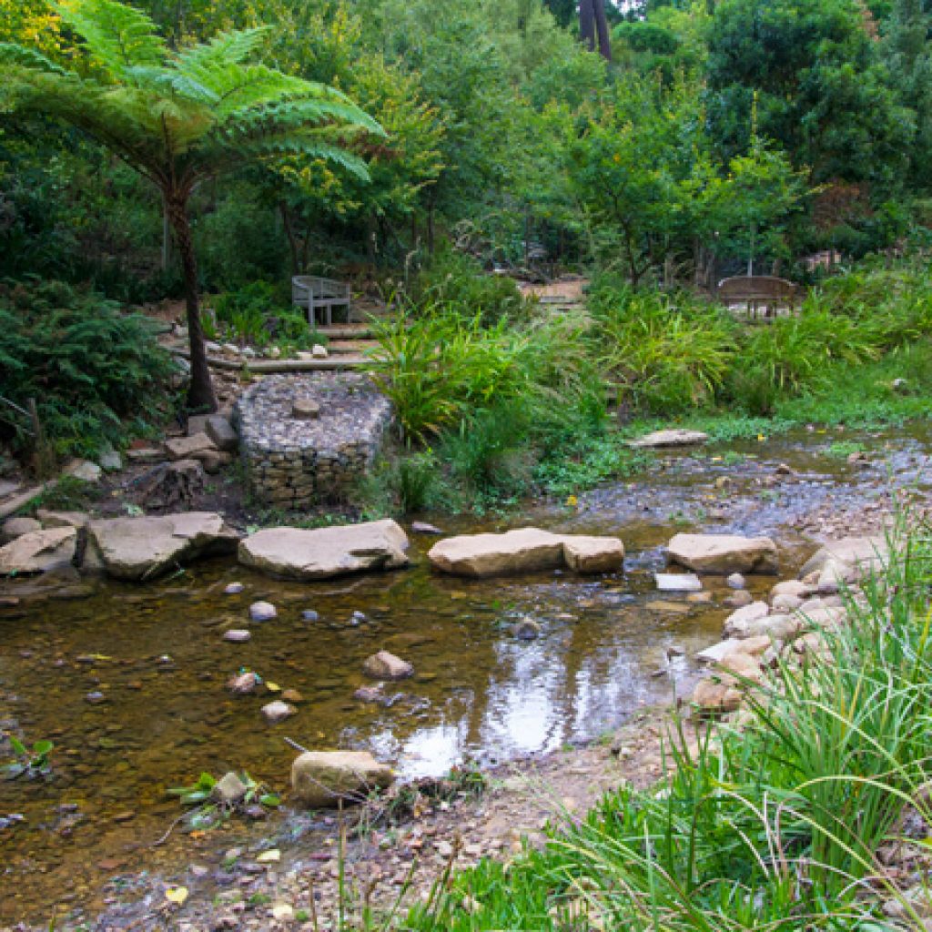
Step into an enchanting escape of vibrant, lush wilderness hidden on the edge of the city. Walk among the towering historic oak and pine trees into the indigenous forest blanketed by moss and ferns. The trickling mountain streams and scenic wooden boardwalks create a tranquil atmosphere, echoing with the sounds of flowing water and birdlife. Further up, the dense canopy reveals the breathtaking cliffs of Table Mountain: perfect picture moments await!
Newlands Forest is owned and managed by the Table Mountain National Parks Board, along with the City Parks Department of Cape Town, and contains a fire station, a nursery, and a reservoir. The forest is a well-loved walking, hiking, and jogging region, especially due to its easy access from Cape Town’s southern suburbs. Hiking through this green, dense forest also affords incredible vistas over the city, towards the Cape Flats. There are various routes to choose from, with the contour path following the winding of Table Mountain all the way from Tafelberg Road, past the cable car station, and through to Constanta Nek. Dogs are also welcome on the hikes here, so long as they are on leads.
Main Trail
The Paradise Ruins & Fernwood Loop offers an unforgettable shift from the historic pine groves to the indigenous sanctuary of the Afrotemperate forest. The trickling mountain streams and deep green ravines make this a classic hiking trail. You will spot darting Cape Grey Squirrels, Knysna Turacos and the impressive golden-ringed webs of Golden Orb spiders. Walking toward the wooden boardwalks of the Table Mountain Contour Path will reveal the vertical rock faces of Table Mountain looking directly ahead.
Start the Hike
Distance: Approximately 6 kilometer loop
Time: 2-3 hours
Difficulty: Moderate
Permit required: No
Take the Newlands Forest turn-off directly from the M3 highway, which will lead you to the large gravel parking area. The tarred forestry lane leads to the main track, Tierkop Road, twisting through the dense shade of the trees.
Explore local history by branching off left to the historic Paradise Ruins: the stone remnants of an 18th century homestead frequented by Lady Anne Barnard. If history is not your thing, stay on the main track until it breaks into a wide clearing, offering a beautiful view of the old gum tree plantation across the valley. Take the path up to the Newlands Ravine path or the Woodcutter’s Trail to reach the main boardwalks on the Contour Path.
The perfect picnic spot to unwind and enjoy the cool mountain air is left along the boardwalks of the Contour Path. The elevated deck is built around a massive living tree, with Newlands Ravine across the deck. If you’re seeking a challenge, explore the steep path, or if you’re ready to head back, retrace your steps back down the Fernwood Track. You can also opt for one of the lower jeep tracks that gently wind back down to the main M3 parking lot.
4. Olifantsbos Shipwreck Trail
Tucked away on the western coastline of the Cape Point Nature Reserve (inside Table Mountain National Park), the Olifantsbos Shipwreck Trail is an exceptional trek for history buffs and wildlife enthusiasts alike. The trail is named after the striking shipwrecks scattered along its rocky beaches.
Start the Hike
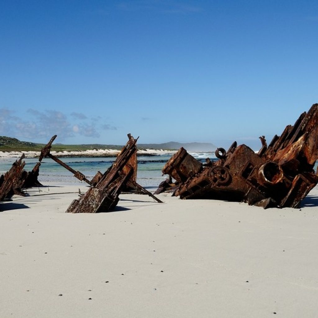
There are two main circular routes starting from the Olifantsbos parking area. The shorter Thomas T. Tucker Shield Walk guides you directly to the jagged, rust-colored hull of a 1942 American Liberty ship marooned on the shoreline. If you opt for the longer Sirkelsvlei Circular Route, you can walk further down the coast to view the remains of the Nolloth, a coaster that ran aground in 1965, before circling back inland past a beautiful freshwater pan.
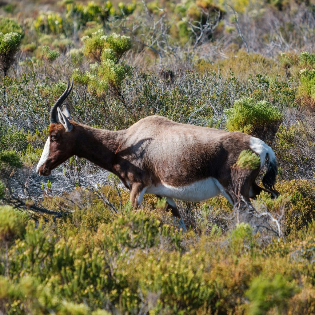
The landscape is a thriving sanctuary for indigenous wildlife. As you walk through the unique fynbos vegetation, you are highly likely to spot wandering ostriches beachcombing near the surf, alongside bontebok, rare African Black Oystercatchers, and Cape Chacma baboons.
Thomas T. Tucker Shipwreck Route
Distance: Approximately 3 kilometers (or 5 kilometers if going out to the Nolloth)
Time: Approximately 1.5 hours
Difficulty: Easy
Permit required: No
This is one of the most rewarding coastal beach walks in Cape Town, offering a brilliant blend of shoreline, rich marine life, and maritime history.
Start the Hike
Your hike starts from the Olifantsbos parking area. Follow the clearly defined pathway as it winds down through the coastal fynbos. The trail gently transitions over a short, rocky ridge before dropping you directly onto a wide stretch of beach. The rock pools are teeming with colourful anemones, sea stars, and local shellfish, so spend as much time as you’d like here.
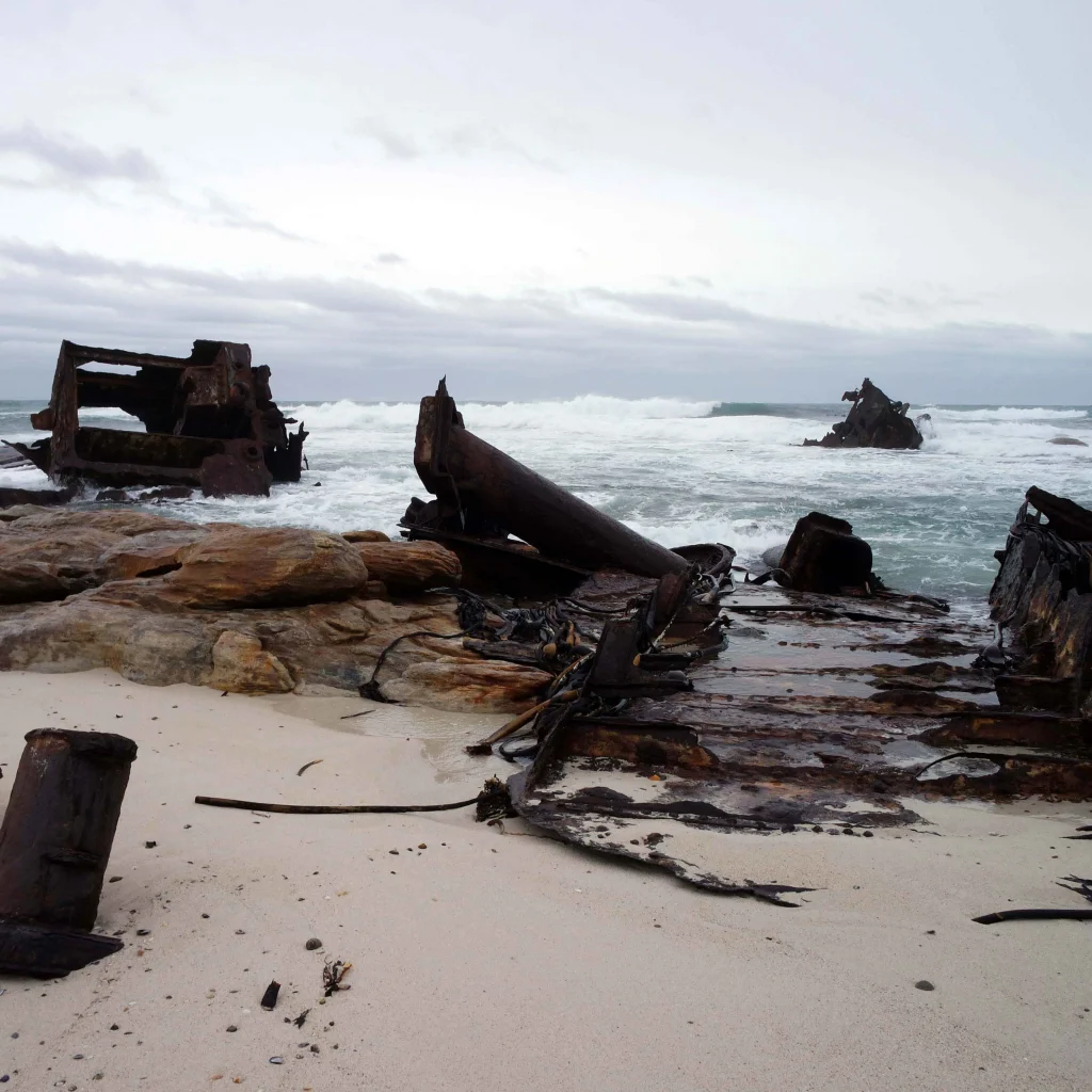
Continue walking north along the shoreline until you encounter the rusted iron hull of the SS Thomas T. Tucker. This American Liberty Ship met its fate in November 1942 on its very first voyage. While local legend claims it was dodging a submarine torpedo, it actually ran aground due to a combination of thick coastal fog and a faulty compass.
Once you’ve explored the wreck and snapped some incredible photos, you can turn around and retrace your steps back to the parking lot. Or, if you have plenty of energy, you can push further north along the coast to view the nearby remains of the Nolloth (which ran aground in 1965) and follow the circular path looping back inland.
Important Coastal Safety Tip: Because large sections of this hike require walking right along the shoreline, always check the local tide tables before you set out. I highly recommend doing this hike during low tide so you have plenty of beach to walk on and can safely explore the rock pools without being caught by sudden swells.
Shipwreck Circuit
Distance: 5.5 kilometers (due to soft sand and rocky ridge inclines)
Time: 2.5 – 3 hours
Difficulty: Moderate
Permit required: No
Leave the beach behind as you walk away from exploring the Nolloth shipwreck. Follow the trail markers pointing inland toward the Sirkelsvlei network, leading you up the rugged coastal escarpment onto the higher inland ridge. As you crest the ridge, Staavia Edge, you’ll be met with beautiful mountain fynbos and incredible panoramic views of the Atlantic ocean crashing along the shoreline below. When you’re ready, the signs will guide you back down the slope back to the main Olifantsbos parking area.
Hiking Gear Tip: The inland ridge path is highly exposed to the fierce Cape Peninsula winds and cuts through scratchy fynbos vegetation. Make sure you pack a windproof jacket and wear sturdy, closed-toe hiking shoes to handle the loose rocks and soft sand patches along the ridge.
The Sirkelsvlei Circuit
Distance: 7.5 kilometers (loop)
Time: 3-4 hours
Difficulty: Moderate
Permit required: No
As the largest natural body of fresh water in the entire Cape Point region, the beautiful pan of Sirkelsvlei is a spectacular wilderness sanctuary fed entirely by deep underground springs.
Begin from the Olifantsbos parking area, walking back up the tarred access road and look for the wooden SANParks trail sign pointing inland. The trail forks into a circular loop: if you take the right-hand fork, it’ll lead you to Staavia Edge. Your walk will be among the strands of beautiful wild fynbos, leading you to the trail’s most famous landmark: the Split Rock. This massive sandstone boulder is perfectly cleaved down the middle, creating a narrow corridor you can walk right through.
As you pass the boulder, the trail drops down into the valley toward the shores of Sirkelsvlei. The dark, tea-colored water is a vital lifeline for local Cape Point wildlife; if you keep quiet, you have a chance of spotting bontebok, eland, and ostriches drinking at the water’s edge. From the pan, the path gently guides you back through the valley, closing the loop right back at the Olifantsbos shoreline.
Hiking Prep Tip: The Sirkelsvlei circuit is completely exposed to the elements with zero shade. Make sure to pack plenty of drinking water, high-SPF sunscreen, sunglasses and a wide-brimmed hat.
5. De Hel Nature Area, Constantia
De Hel Nature Area is a hidden green gem, tucked away in the heart of Cape Town’s historic wine valleys. Centuries ago, this deep ravine was a bustling timber site. In the late 18th century, a master woodcutter and his team heavily harvested the valley’s ancient trees to supply wood for the Dutch East India Company. Today, Mother Nature has spectacularly reclaimed the land. Ancient vines snake up canopies, forming a dense wall of emerald leaves over the banks of the Diep River. The area has been proclaimed a Provincial Heritage Site.
Walking into the ravine feels like stepping into a forgotten rainforest, complete with overgrown, canopy-shaded dirt paths, rustic wooden boardwalks, and a massive array of indigenous birdlife.De Hel connects seamlessly to the broader Constantia Green Belt trail network, making it incredibly easy to link up with other beautiful walks in the valley.
The De Hel Gorge Loop
Distance: 2,2 kilometers (loop)
Time: 45 minutes to 1 hour
Difficulty: Easy to Moderate (short, but involves steep gorge stairs)
Permit required: No
This short but immersive loop takes you deep into the belly of the ravine and back, making it a fantastic quick escape for travelers exploring the Constantia wine route.
The trail is semi-circular and can be accessed from two different points. The primary upper entrance is on Constantia Main Road (M41). If you are driving down from the Rhodes Drive roundabout, look for the small gravel parking strip on your right-hand side, right before the road starts to drop sharply. Or, you can find ample parking at the lower entrance located on Southern Cross Drive.
From the upper entrance, step onto a series of rustic wooden steps as the path descends steeply into the dense, shaded canopy of the gorge. Make sure you’re wearing shoes with a good grip, as the wooden steps can be damp and slippery. As you reach the valley floor, you will cross wooden footbridges over the trickling waters of the Diep River. Follow the main loop path as it winds through giant wild almond trees and thick ivy curtains. The trail then climbs back up out of the river basin to connect the two entry points, allowing you to easily loop back to your starting vehicle.
The Alphen Trail
Distance: 4.2 kilometers
Time: 1 – 1.5 hours
Difficulty: Easy
Permit required: No
This is, in my opinion, the most beloved and most famous stretch of the Constantia Green Belt network. The Alphen Trail is a flat, shaded pathway that runs alongside the Diep River under a tall canopy of oak and willow trees. You will be able to spot local water birds, such as Egyptian geese and weavers, nesting in the river reeds. You will also frequently see local residents walking dogs and riding horses along the wide dirt paths.
Start the Hike
The trail can be easily accessed from two main points. You can park in the gravel bays on Alphen Drive (just off Constantia Main Road, right next to the historic Alphen Boutique Hotel). Or, you can start from the quieter top end of the valley and park on Le Sueur Avenue.
The wide, well-maintained dirt path follows the gentle flow of the Diep River under a canopy of towering oak, poplar, and weeping willow trees. Wooden footbridges cross the river at regular intervals, allowing you to easily crisscross the water and explore both riverbanks at your own leisure.
Go on a weekend morning: The local green fields regularly host community pop ups where you can grab a coffee, local pastries (koeksisters!), and snacks to enjoy along the riverbanks. Start at the Alphen Drive entrance for this sweet treat
6. Lions Head
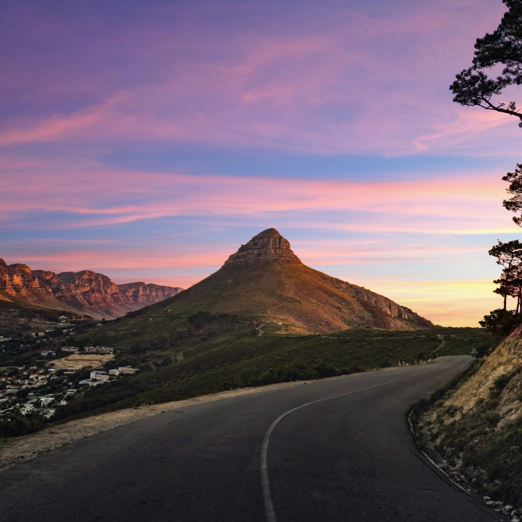
Standing proudly alongside Table Mountain, the distinctive, conical peak of Lion’s Head offers some of the best 360-degree views in South Africa. The jaw-dropping vistas expand with every single step, revealing the sprawling city bowl and Table Bay on one side, and the dramatic Atlantic Ocean coastline stretching past the Twelve Apostles on the other. On a clear day, you will get to see an unobstructed, bird’s-eye view of the historic Robben Island floating out in the bay.
Main trail
Distance: 5.5 kilometers
Time: 2 – 2,5 hours
Difficulty: Moderate (involves steep climbing chains and vertical rock scrambles)
Permit required: No
As you climb through fragrant fynbos, you can spot darting lizards basking on sun-warmed rocks and majestic Verreaux’s eagles soaring on the thermals high above the peak.
Start the Hike
Head up toward the mountain along Kloof Nek Road (M62), as if you are driving toward Camps Bay. At the main intersection, between Table Mountain on your left and Lion’s Head on your right, turn right onto Signal Hill Road. Park in the dedicated parking lot by the clearly marked SANParks trailhead.
Follow the track that circles the mountain, giving you the best panoramic views of the Atlantic Seaboard. As you reach the top, the path leads into a steep, rugged rock scramble. Here you will find built-in metal ladders, iron rungs, and safety chains designed to help you navigate the rocks (it is so fun and adventurous, but always be cautious).
Healthy Hiking Tip: The vertical chain section is completely unsuitable for young children, the elderly, or anyone experiencing severe vertigo. Fortunately, there is a clearly signposted alternative route that bypasses the chains entirely, spiraling gently around the back of the peak to reach the summit safely.
If your timing aligns with the lunar calendar, consider why not join one of Cape Town’s world-famous Full Moon Hikes. Watching the sun set over the glittering Atlantic Ocean while the massive full moon rises over the Hottentots Holland mountains is nothing short of fantastical.
What To Bring For the Hike & Full Moon Hike
Item
Daytime Hike
Full Moon Hike
Notes
Water Bottle
Yes
Yes
Pack at least 1.5 to 2 liters; there are no water points on the trail.
Hiking Shoes
Yes
Yes
Must have excellent grip to safely navigate the steep rock scrambles and gravel.
Camera / Smartphone
Yes
Yes
Crucial for capturing the 360-degree panoramic coastal views.
Hat & Sunscreen
Yes
No
The lower loops are completely exposed to the harsh South African sun.
Warm Jacket / Jersey
No
Yes
The summit gets exceptionally cold and windy the moment the sun drops.
Headlamp / Torch
No
Yes
Essential for the dark descent. Note: It is highly recommended to take the alternative spiral path to bypass the steep chains entirely when hiking down in the dark.
Backpack with Snacks
Optional
Yes
Perfect for holding your summit picnic and keeping your gear secure while climbing.
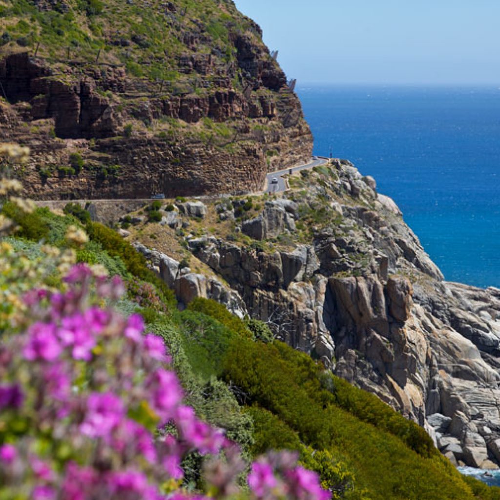
Chapman’s Peak is affectionately known by the locals as Chappies, and offers a bird’s eye perspective that most people completely miss. If you’re visiting Chapman’s Peak, you’ll experience the legendary drive and beautiful hike that looks directly down into the turquoise waters of Hout Bay harbor and the white sands of Noordhoek Beach.
Because it is slightly further south than the bustling trails of Table Mountain and Lion’s Head, it remains a quieter paradise if you’re looking to escape the crowds.
Toll Road & Parking: The most popular trail starts at the main parking areas at the highest viewpoint along Chapman’s Peak Drive. If you are driving here from the central city via Hout Bay, you will have to pay a toll road fee at the booth to access the parking lot. You can bypass the toll road fee by parking at the free parking bay on the Noordhoek side, and use the alternative mountain paths that lead up from the base.
The Main Trail
Distance: 5 kilometers
Time: 2.5 – 3 hours
Difficulty: Moderate
Permit required: No
Walk through the indigenous fynbos, including King Proteas and fragrant buchu bushes that line your path. As you climb the sandstone ridges, keep an eye out for the occasional pod of whales breaching in the deep blue waters of Hout Bay below.
Start the Hike
The trail welcomes you with vibrant proteas, starting from the roadside parking lot. Once the path levels out near the top, turn right as the path guides you over and around a small peak toward the final summit. As you go higher to the top, you will notice the path becomes a bit more rugged, so slow down and walk carefully, following the rock cairns (piles of stones) to guide you.
When you reach the top you will be rewarded with breathtaking views of Noordhoek Beach, Kommetjie, the distant outline of Cape Point, and a unique view of the back of Table Mountain.
I would definitely recommend hiking this trail in the late afternoon when the sunlight bathes the bright sandstone cliffs in a warm, deep red radiance. It is the most beautiful backdrop for your picnic!
Money Saving Tip: If you are driving from the city center via Hout Bay, do not pay the standard toll fee. When you arrive at the Hout Bay toll plaza, ask the operator for a free Day Pass. This voucher allows you to drive up to the main trailhead parking lot, complete their hike, and exit back through the Hout Bay side completely free of charge.
Chapman’s Peak & Silvermine
Distance: 12 kilometers
Time: 5-6 hours
Difficulty: Strenuous / Difficult
Permit required: No
This one is for the experienced hikers looking for an unforgettable, full-day mountain crossing. This trail bridges the gap between the Atlantic coastline and the high valleys of the interior Peninsula. Because this is a strict point-to-point route, it requires a two-car transport strategy with one vehicle parked at the Silvermine Reservoir and the other at Noordhoek Beach.
Start the Hike
The soft sands of Noordhoek Beach is where you begin the trail, which leads inland toward sheer rock walls of the Noordhoek Amphitheater. It is a relentless, steep vertical climb that will test your cardio limits. There is no shade at all, which is why it is better to tackle this section early in the morning before the sun hits the mountain wall.
Once the rim of the amphitheater is conquered, the trail will reveal the most breathaking views of the entire Peninsula, looking down onto the sweeping arc of Noordhoek Beach and the famous curves of Chapman’s Peak Drive below.
From the ridge, the path loops around the back slopes of Noordhoek Peak, leading toward a beautiful, undulating trail across the pristine fynbos wilderness of Silvermine West. The route gradually winds its way down into the cool valley, ending at the banks of the Silvermine Reservoir.
Silvermine Fees Tip: If your vehicle is parked at the finish line inside the Silvermine Nature Reserve, you will need to pay the standard SANParks conservation entry fee. Also check the gate closure times in case the hike takes you longer than expected. Their recovery car could be locked inside the reserve overnight.
Category
What to Keep An Eye Out For
Travel Notes & Spotting Tips
Proteas & Ericas
King Proteas, Sugarbushes, and colorful Ericas
These dominate the lower slopes of the Noordhoek Amphitheater and the high Silvermine ridges, blooming in brilliant pinks, red, and purples.
Diverse Fynbos
Restios, Conebushes, and fragrant Buchu
The entire mountain traverse cuts through this pristine, unique floral kingdom. Brushing against the bushes releases a wonderful, herbal aroma.
Indigenous Trees
Wild Almonds, Real Yellowwoods, and Cape Beech
Found clustered in the damp, shaded mountain ravines and crags where water trickles down the amphitheater walls.
Majestic Raptors
Verreaux’s (Black) Eagles and African Fish Eagles
Watch the sky and the sheer cliff faces. Black eagles nest on the high crags, while fish eagles can sometimes be heard calling near the shoreline or the reservoir.
Local Birdlife
Orange-breasted Sunbirds, Cape Sugarbirds, and Sunbirds
These brightly colored, energetic birds can be seen flitting between the protea and erica blossoms feeding on nectar.
Reptiles
Sun-basking lizards, geckos, and mountain snakes
You will frequently see small lizards darting across the sandstone paths. On hot days, keep an eye out for tortoises or the occasional puff adder warming up on the rocks.
Boots on
Each hike is a journey of self-discovery. It is a chance to learn more about who you are and what you are capable of. It teaches us to appreciate the small things, like the sound of birdsong, the scent of pine and the feel of earth beneath our feet.
Like the saying goes: when life gives you mountains, put your boots on and hike!
N.B: This blog was originally written by Amy Saville on 21 May, 2014. It was rewritten by Faatima Suliman on 31 July, 2026.
It is moderately difficult.While it is a relatively short hike, it transitions from a casual walk into an adventurous, full-body scramble near the summit.
The Garden Route is one of South Africa's most popular and interesting stretches of coastline, a temperate landscape of sandy beaches, indigenous forests, rocky shores and quaint towns where you can do everything from savour fresh oysters to watch southern right whales at play.
Yes, hiking up Table Mountain is completely free. There are no entrance fees or permits required to walk the standard trails inside Table Mountain National Park, with the single exception of Skeleton Gorge, which starts inside the paid Kirstenbosch National Botanical Garden.
Neither is objectively better, they're built around different travel styles. Nomad is a continuous overland drive from Cape Town with truck-prepared meals; Jenman flies from Cape Town to Windhoek and leans on more lodge and restaurant dining, adding Hwange National Park to the route.